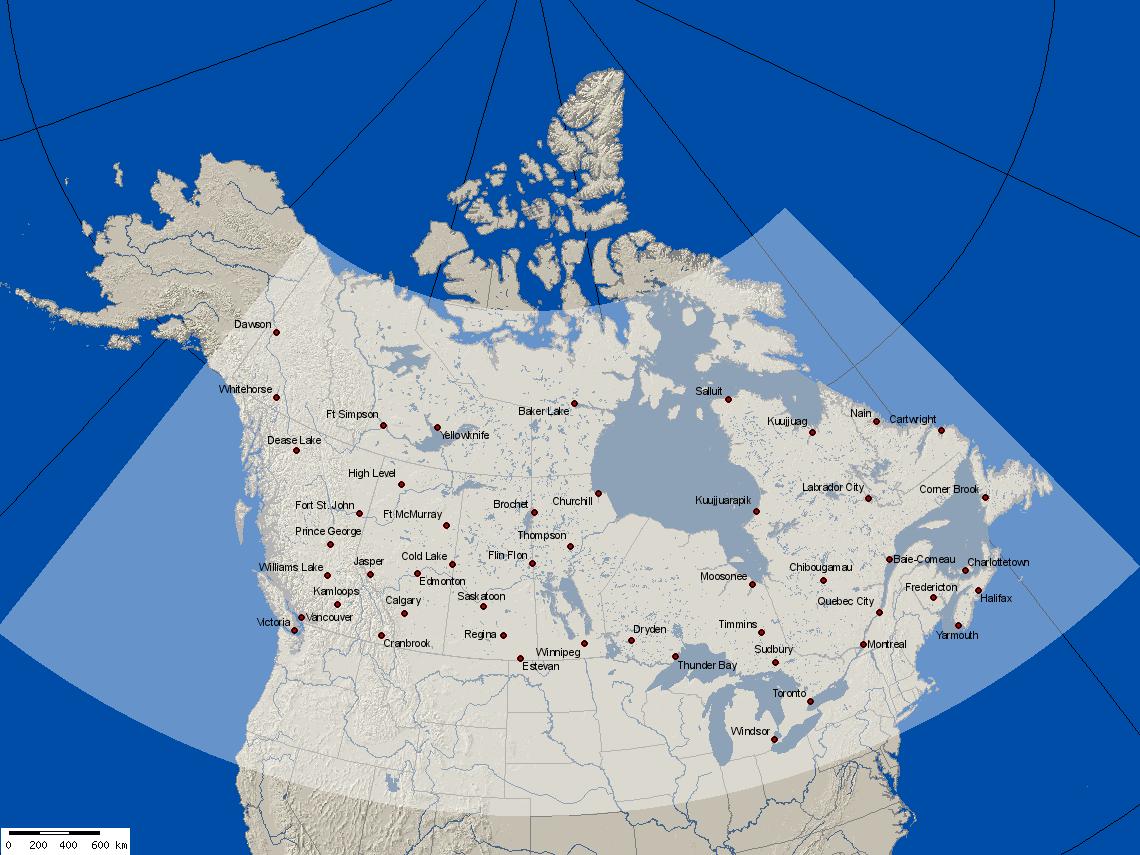
Canada Smoke Forecast issued 20220201
2022-02-01 02:00 UTC

2022-02-01 03:00 UTC

2022-02-01 04:00 UTC

2022-02-01 05:00 UTC

2022-02-01 06:00 UTC

2022-02-01 07:00 UTC

2022-02-01 08:00 UTC

2022-02-01 09:00 UTC

2022-02-01 10:00 UTC

2022-02-01 11:00 UTC

2022-02-01 12:00 UTC

2022-02-01 13:00 UTC

2022-02-01 14:00 UTC

2022-02-01 15:00 UTC

2022-02-01 16:00 UTC

2022-02-01 17:00 UTC

2022-02-01 18:00 UTC

2022-02-01 19:00 UTC

2022-02-01 20:00 UTC

2022-02-01 21:00 UTC

2022-02-01 22:00 UTC

2022-02-01 23:00 UTC

2022-02-02 00:00 UTC

2022-02-02 01:00 UTC

2022-02-02 02:00 UTC

2022-02-02 03:00 UTC

2022-02-02 04:00 UTC

2022-02-02 05:00 UTC

2022-02-02 06:00 UTC

2022-02-02 07:00 UTC

2022-02-02 08:00 UTC

2022-02-02 09:00 UTC

2022-02-02 10:00 UTC

2022-02-02 11:00 UTC

2022-02-02 12:00 UTC

2022-02-02 13:00 UTC

2022-02-02 14:00 UTC

2022-02-02 15:00 UTC

2022-02-02 16:00 UTC

2022-02-02 17:00 UTC

2022-02-02 18:00 UTC

2022-02-02 19:00 UTC
2022-02-02 20:00 UTC

2022-02-02 21:00 UTC

2022-02-02 22:00 UTC

2022-02-02 23:00 UTC

2022-02-03 00:00 UTC

2022-02-03 01:00 UTC

2022-02-03 02:00 UTC

2022-02-03 03:00 UTC

2022-02-03 04:00 UTC

Loading ...
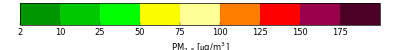
Current image: 2022-02-01 02:00
Forecast Parameters
| Forecast ID: | BSC18CA12 |
| Run date & time: | 2022-02-01 02:00 |
| Meteorology: | WRF 20220131, 12km grid, 18 UTC initialization |
| Fires & emissions: | SF2 20220201 00 UTC |
| Carryover smoke: | 20220131 02 UTC |
Downloads
| Google Earth KMZ file: | dispersion.kmz » |
| Raw data NetCDF file: | dispersion.nc » |
Do you have a question about this forecast? Check out the FAQ ...
Disclaimer
This BlueSky Canada smoke forecast is considered experimental because it is produced by a system that is an ongoing research project and subject to uncertainties in weather forecasts, smoke dispersion and fire emissions. For example, the system uses satellite detections to locate fires. If there is cloud cover or smoke that obscures the detection of fires from space, the resulting smoke from these fires will not be accounted for in the forecast.
NOTE: This forecast does not include smoke from sources that are outside the boundaries of the forecast domain. The BlueSky Framework currently does not have a mechanism to transport smoke into the model domain from external sources. Please use the Canada-wide forecast to evaluate whether long-range smoke transport may affect your region.